The year 2021 marks a huge step forward in terms of space exploration for the island of Mauritius. On June 3rd 2021, at 17:29 UTC (21:29 time in Mauritius GMT+4), the first Mauritian satellite (a CubeSat – MIR-SAT1) was launched onboard the SpaceX Falcon 9 rocket (Mission: CRS-22/SpX-22) from the Kennedy Space Center in Florida.

CRS-22 (SpX-22) mission patch

SpaceX’s flight Launch | Image Credit: SpaceX
The flight is the 22nd mission by SpaceX conducted under a Commercial Resupply Services contract with NASA. The Dragon cargo spacecraft will deliver supplies, science investigations, and an array of small satellites for deployment from the International Space Station (ISS). These small satellites, CubeSats (also known as ‘Nanosatellites’) are a class of research spacecrafts, can be 1U, 2U, 3U, or 6U in size, around 10 cm x 10 cm x 10 cm and typically weigh less than 1.33 kg per U.
The Mauritius Imagery and Radiotelecommunication Satellite 1 (MIR-SAT1) was built by a team of researchers at the Mauritius Research and Innovation Council (MRIC), under the aegis of the Ministry of Information Technology Communication and Innovation. It was also supported by the local Amateur Radio Society in collaboration with experts from AAC-Clyde Space UK.
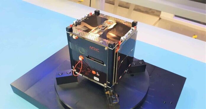
First Mauritian Nanosatellite, MIR-SAT1 | Image Credit: Mauritius Research and Innovation Council (MRIC)

In 2018, the United Nations Office for Outer Space Affairs (UNOOSA) and the Japan Aerospace Exploration Agency (JAXA) selected the Republic of Mauritius for the third round of the UNOOSA-JAXA KiboCUBE programme. Through this partnership, Mauritius will be able to launch their first Mauritian satellite 1-Unit Cube Satellite (nanosatellite) to the International Space Station (ISS) and then deployment in space from the Japanese Experiment Module (Kibo) of the International Space Station.
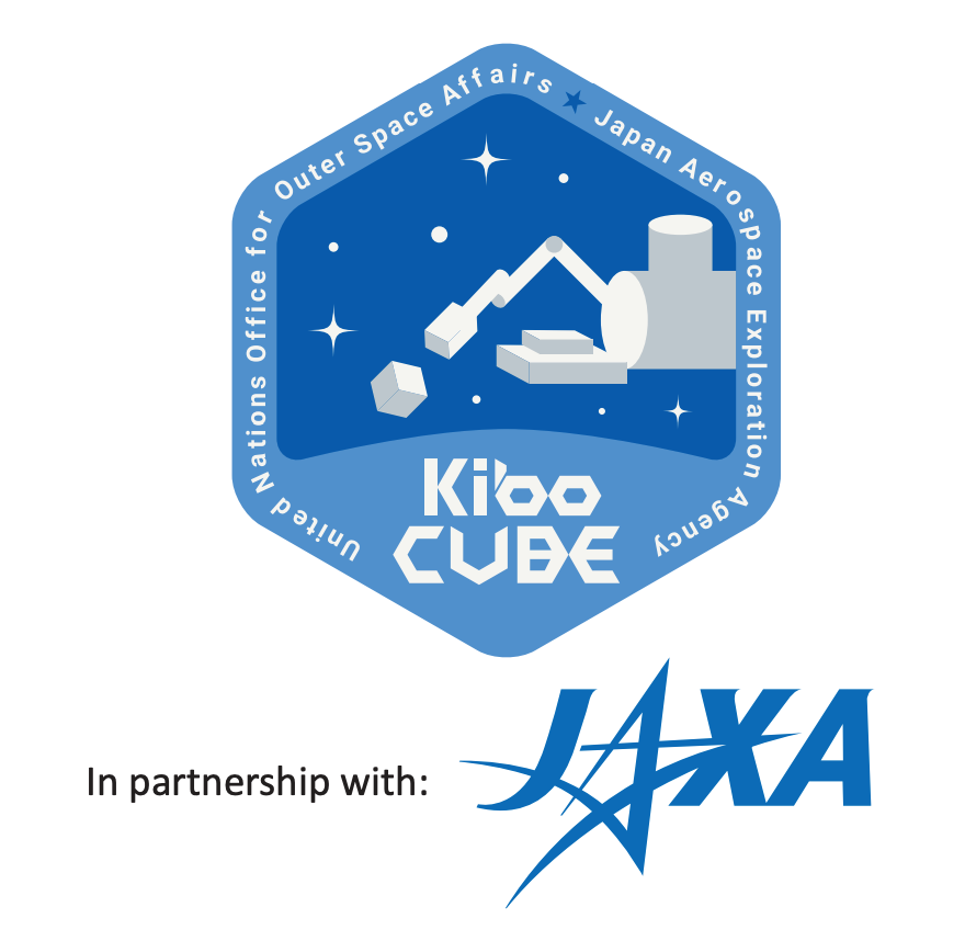

The United Nations/Japan Cooperation Programme on CubeSat Deployment from the International Space Station (ISS) Japanese Experiment Module (Kibo) “KiboCUBE” | Image Credit: UNOOSA/JAXA Partnership
The main mission and objectives of the MIR-SAT1 are to enable “Technology and knowledge transfer through the design, building, testing and operating satellite in space.” This will help promote small satellite technology in Mauritius and contribute to socio-economic benefits.
Kumbirai is a GIS & MEAL specialist using geospatial analytics to advance global health and social impact. A certified Data Protection Officer (DPO), an open-data advocate and self-taught software developer, he builds web GIS tools that turn field data into decisions. He lectures in GIS/Remote Sensing and mentors emerging practitioners. Founder of a geospatial startup and nonprofit, he believes, “Real geospatial innovation happens when we empower communities with the right tools and knowledge.” Open to consulting and collaborations.